Global Temperature Anomalies Animation, 1850 to 2018
By . Updated on

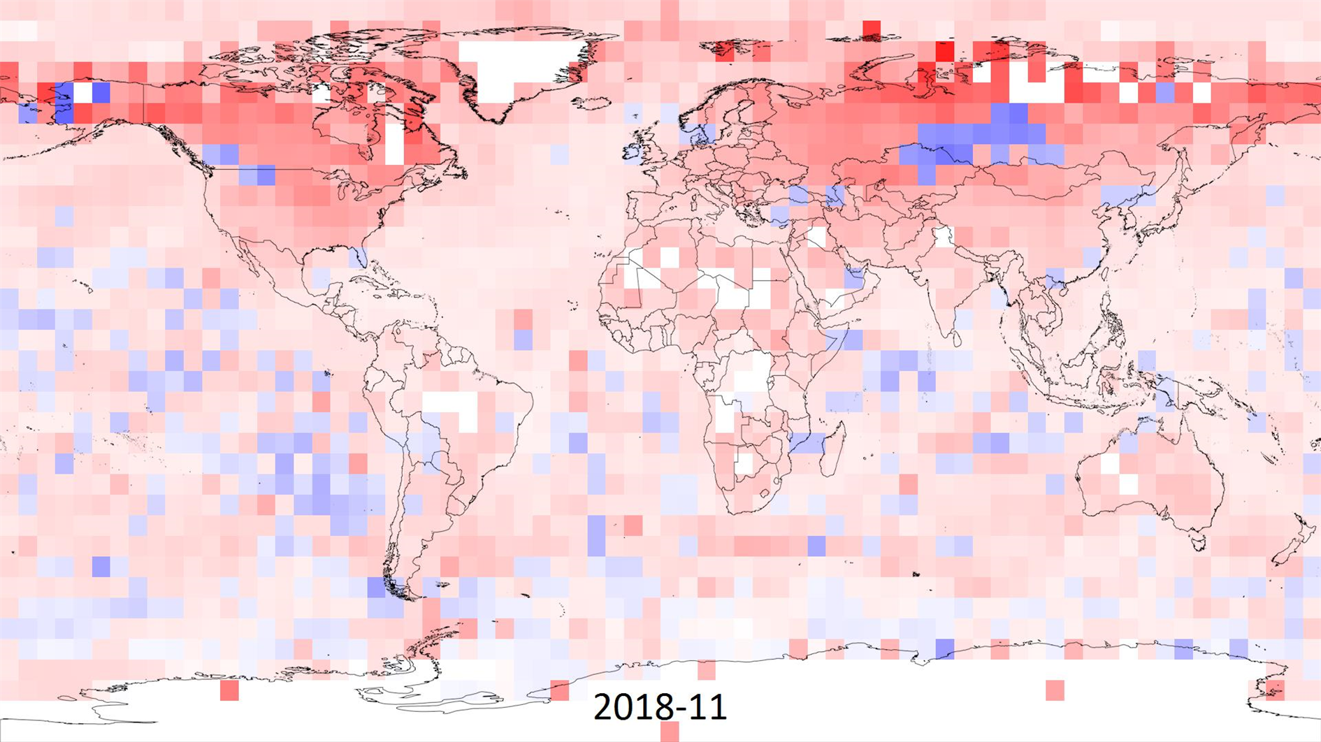
Global temperature maximum anomaly from Jan 2010 to Nov 2018

I made this animation to visualize climate change based on the HadCRUT 4 data (specifically the ensemble median gridded data) from the Met Office Hadley Centre.

HadCRUT 4 provides temperature anomalies in a five degree grid by month and year from January 1850 to November 2018 (as of this post). Anomaly here means deviation from the 1961-1990 average.

In the animation I wanted to capture the full timespan of the data but also show long term trends. Each frame is a month of data and each five degree grid of longitude and latitude is colored based on the maximum cumulative anomaly (positive or negative) for each decade. The range for color is 0 to +/- 20.85 degrees, red for warmer and blue for cooler. This means there is a reset at the start of each decade, the first few years are mostly random noise but by the end of each decade you're seeing the range of extremes.

Spoiler alert - you can spot something happening in the last three decades.

As well as the change in temperature it's interesting to watch the increase in global coverage over time. It's surprising that even the most recent years have no readings for Antarctica. Here's a paper (PDF) discussing the impact of the missing data. The HadCRUT 4 FAQ has more detail on how the temperature anomalies were assembled.
(Previously)

Treasure Island

By . Updated on

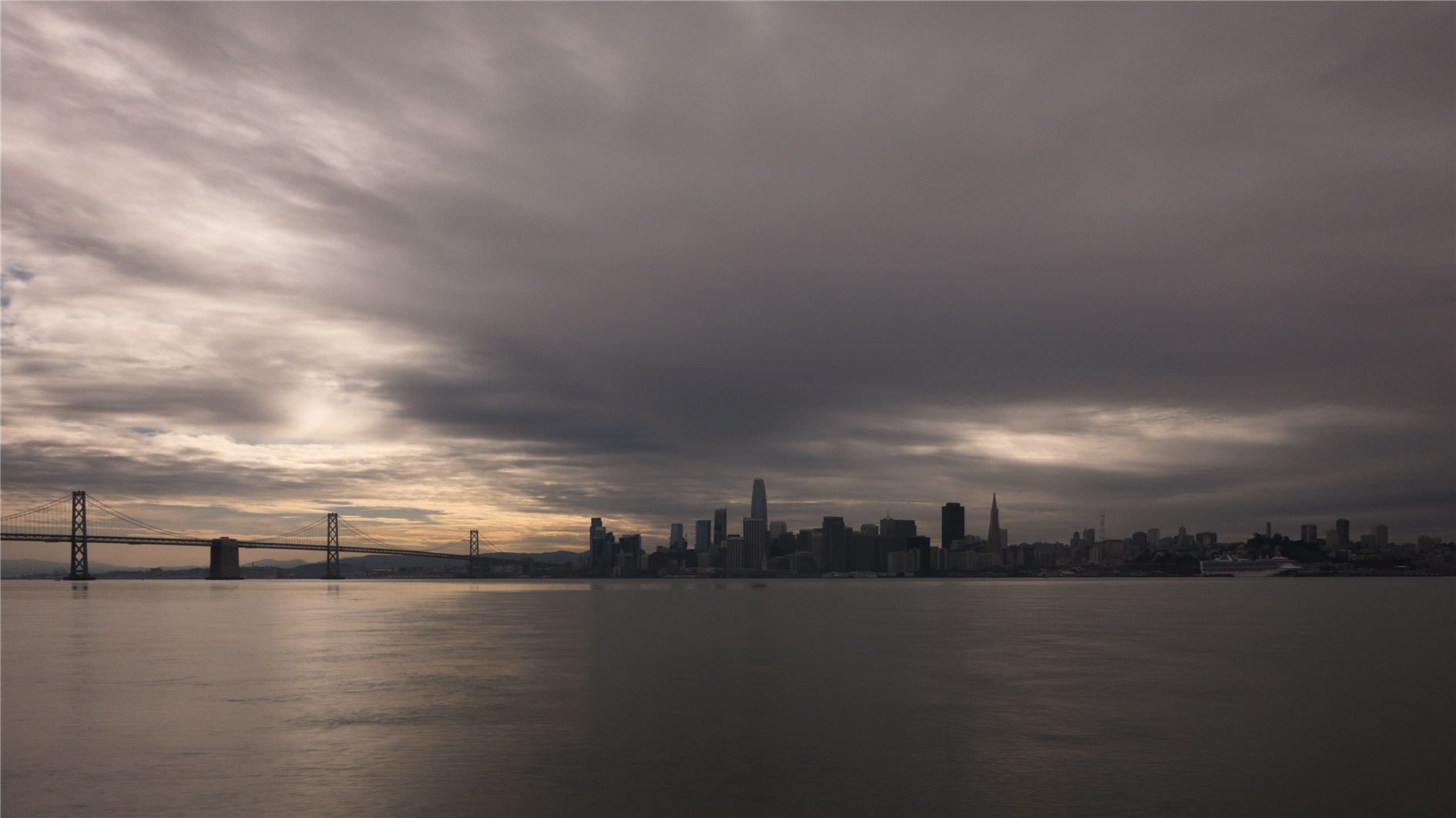
San Francisco from Treasure Island

A timelapse from Treasure Island in the San Francisco Bay.

The first half of the video is looking west from Treasure Island and pans along the San Francisco waterfront. The second half was shot east towards Oakland and includes a storm sweeping in from the north.

Lassen Star Trails

By . Updated on

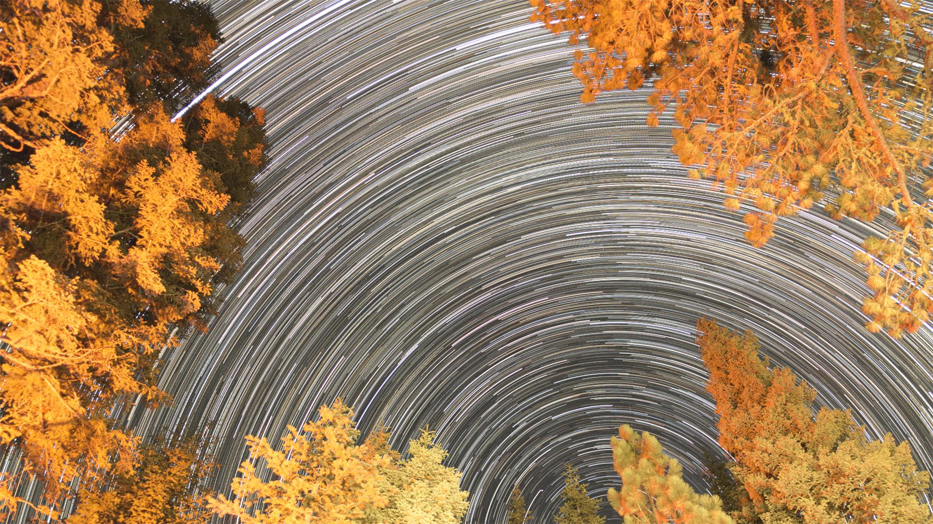
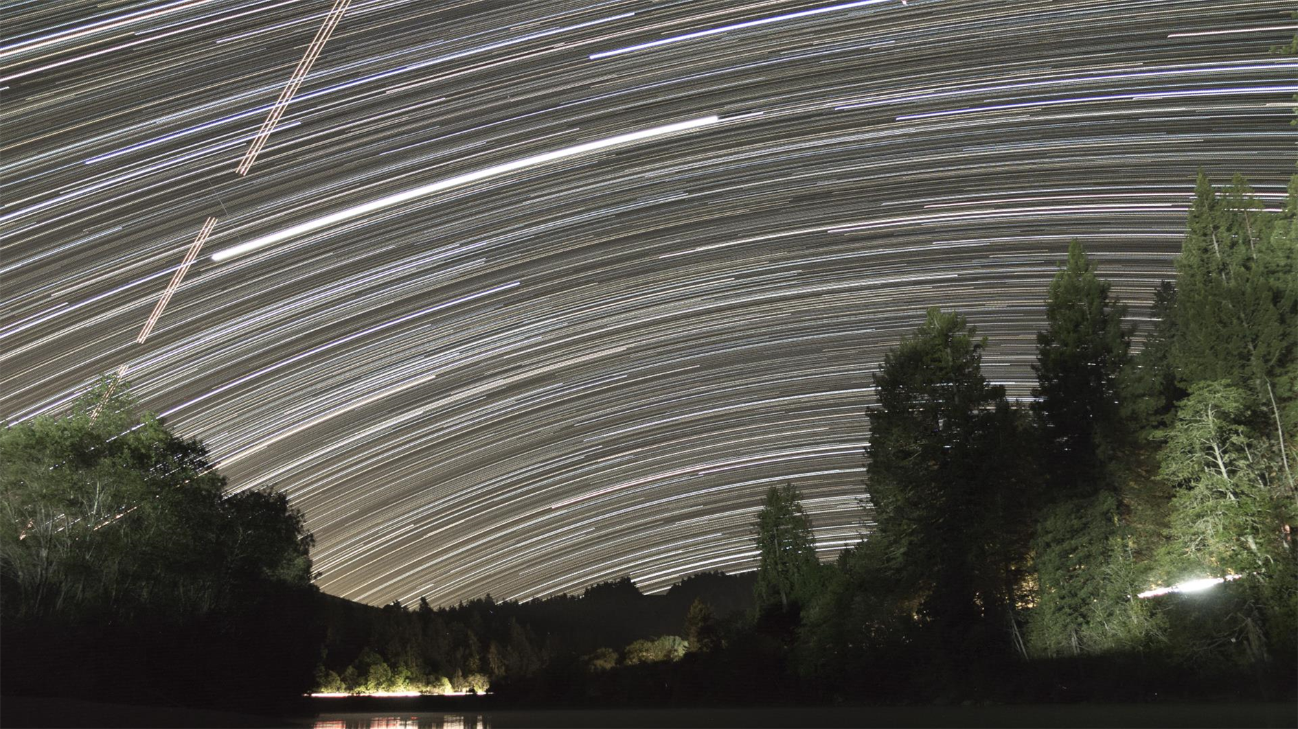
Star trails from the Manzanita Lake campground at Lassen Volcanic National Park

A timelapse two ways shot from the Manzanita Lake campground at Lassen Volcanic National Park (the second time I've visited and the second time that Bumpass Hell has been closed). First a regular 4K timelapse looking up from the campsite:

The second version is the same footage in HD where each frame is the cumulative maximum pixel value of all the frames up to the current frame (so it builds in star trails as the video runs):

Bay Model Tide 360 Timelapse

By . Updated on

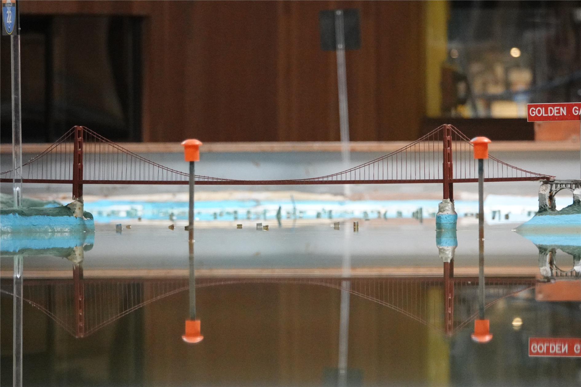
Bay Model in Sausalito CA

The Bay Model in Sausalito is a two-football field sized working model of the San Francisco Bay and Sacramento - San Joaquin River Delta. Here's a 360 degree timelapse of the model in action so you can see the tide coming in and out (best in a VR headset but you can pan around as well):

Shot on a Ricoh Theta S and post-processed in LRTimelapse and Adobe Lightroom.

June Gloom

By . Updated on

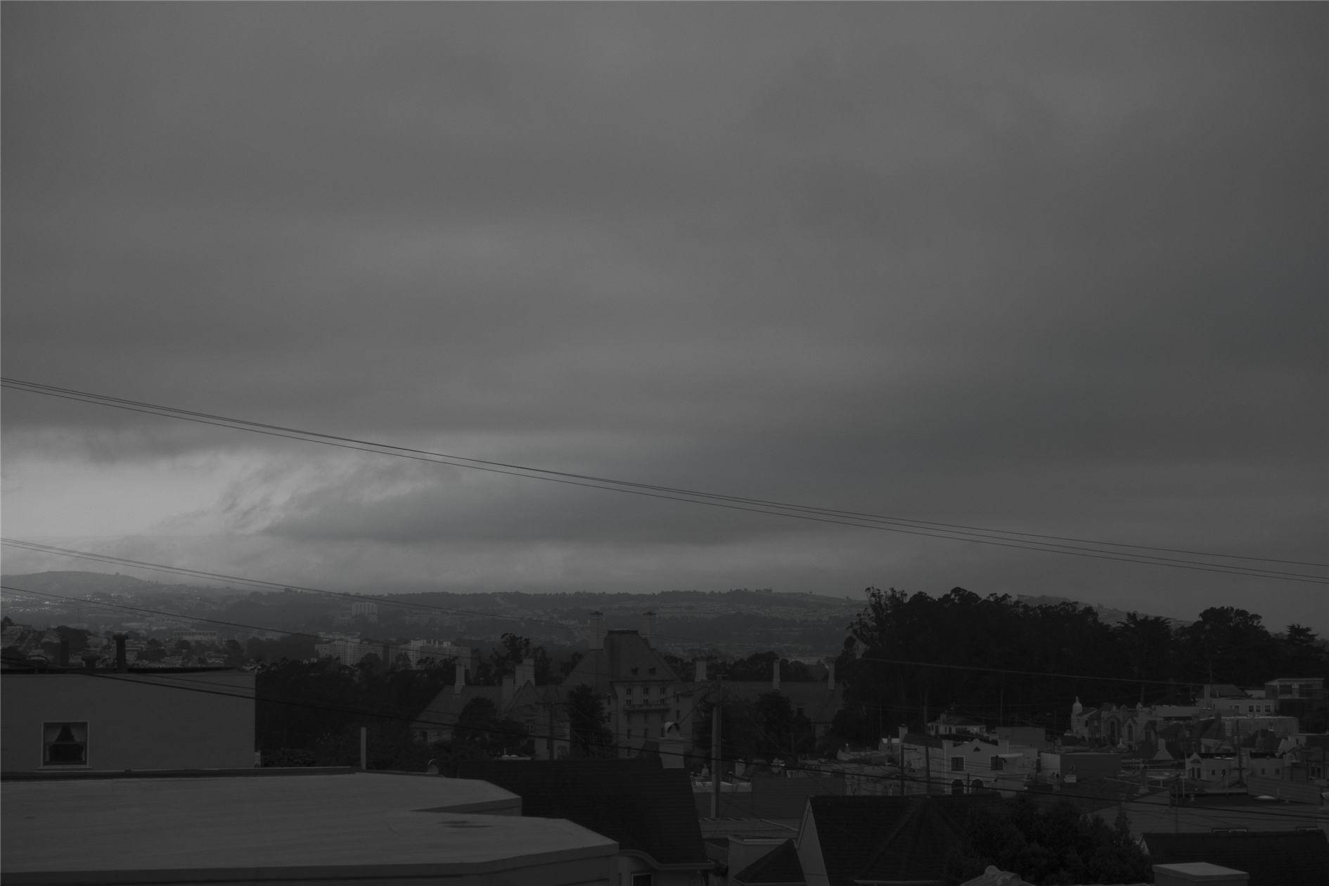
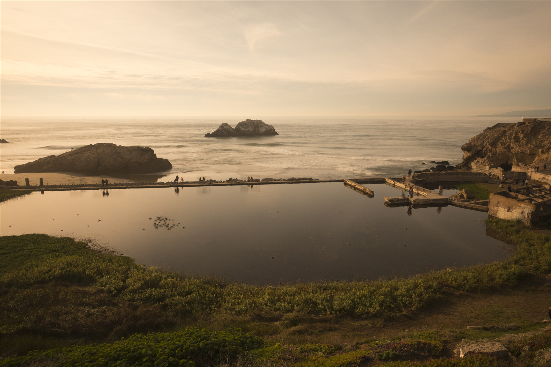
Gloomy cloud over the French Chateau Sanatorium

A relatively pleasant Sunday in San Francisco, which means the second you turn your back fog and low cloud are going to swoop in:

The first part of the video is looking west toward the ocean. Once any trace of blue is obliterated we turn south to see fog rolling over San Pedro Mountain near Pacifica and increasingly gloomy cloud cover over the French Chateau Sanatorium (which I think of as the West Portal Retirement Castle). This is a deeply strange building, nestled in a hollow and surrounded by trees. Most of the time you don't see it and then suddenly, on the right street at the right angle you're startled to realize that there is a massive chateau hiding in the neighborhood.

If you're in the mood for more West Portal oriented time lapse enjoy: West of West Portal, West Portal Mosaic Timelapse, West Portal Timelapse of Timelapses and Spherical Sunset.

Star Trails

By . Updated on

Star Trails

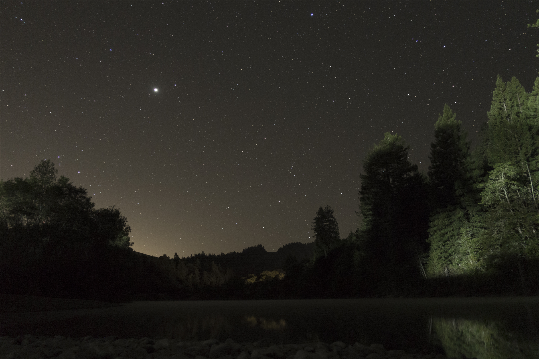
Here's a different take on the timelapse I posted yesterday (Jupiter from Casini Ranch):

For this version each frame is built from the cumulative maximum pixel value for all the previous frames. So it's like a long exposure with nice star trails (and Jupiter, and at various points a couple of satellites and a plane).